Ground Penetrating Radar in St. Cloud & Central Florida
Down To Earth Underground LLC provides Ground Penetrating Radar services to support subsurface investigation, utility planning and underground project preparation throughout our Central Florida service area.
More Information Before Intrusive Underground Work Begins
Ground Penetrating Radar, commonly called GPR, can provide additional information about subsurface conditions before drilling, trenching, excavation or other underground work begins.
Down To Earth Underground uses GPR as part of a broader approach to underground project planning. Depending on the site, it may be used alongside utility locating, mapping and potholing to help develop a clearer understanding of below-ground conditions.
No single investigation method is right for every project. The appropriate approach depends on the site, proposed work, existing infrastructure and the level of verification needed.
Discuss Your Project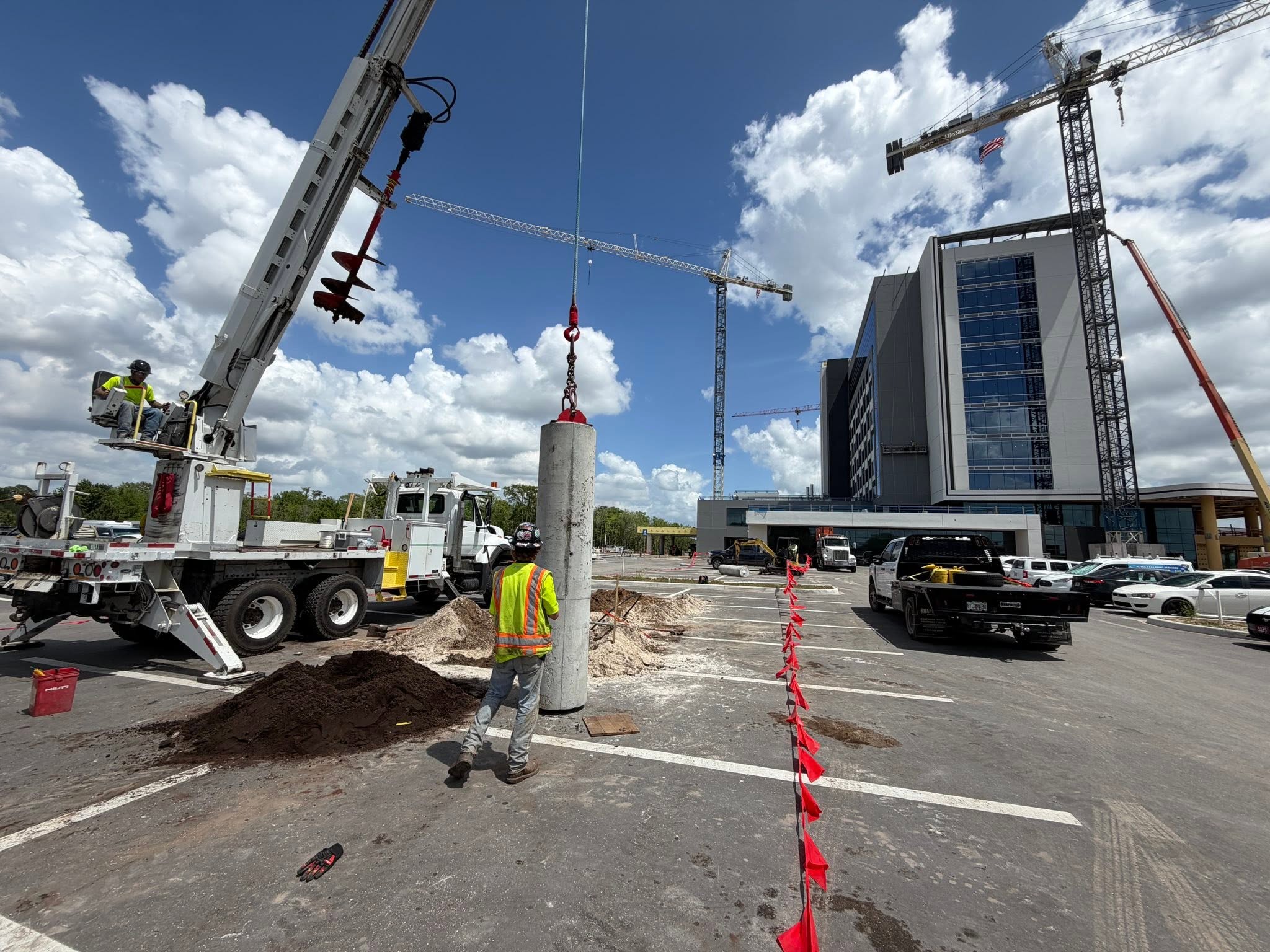
Supporting Better Underground Project Planning
GPR can be useful when a project requires additional information about what may be present beneath the surface before intrusive work proceeds.
Utility Planning
Subsurface information can help support planning around existing underground infrastructure.
Drilling Preparation
GPR may provide additional information before directional drilling or trenchless boring work begins.
Excavation Preparation
Additional subsurface information can help inform excavation and trenching decisions.
Buried Feature Investigation
GPR can help provide information about subsurface features that may affect the proposed project area.
Potholing Coordination
Investigation findings may help identify areas where targeted potholing could provide direct verification.
Route Evaluation
Better subsurface information can help support decisions about a proposed underground route and work method.
GPR Works Best as Part of a Broader Site Evaluation
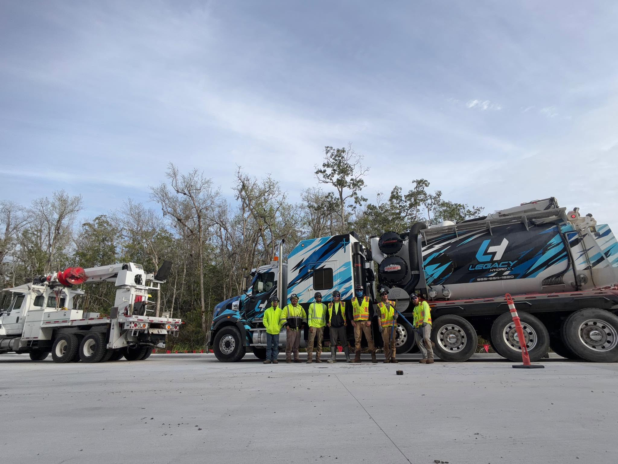
Ground Penetrating Radar can provide useful subsurface information, but underground project planning may require several methods depending on the site and the type of verification needed.
- Review the proposed project area
- Consider known underground infrastructure
- Use utility locating and mapping where appropriate
- Use GPR when additional subsurface information is needed
- Use potholing when direct physical verification is required
- Coordinate findings with drilling, trenching or excavation plans
GPR, Utility Locating and Potholing Are Not the Same Thing
Each method provides a different type of information. Depending on the project, they may be used separately or together.
Ground Penetrating Radar
GPR provides additional subsurface information about buried features and below-ground conditions that may affect the work area.
Utility Locating & Mapping
Utility locating and mapping help identify and document existing buried utility routes that may affect the proposed project.
View Utility LocatingPotholing
Potholing physically exposes buried infrastructure where direct verification of its position and depth is needed.
View PotholingGPR Can Support a Range of Utility and Excavation Projects
Subsurface investigation can be useful before work involving different types of underground infrastructure.
Power
Subsurface investigation supporting project planning around underground power-related infrastructure.
Water
GPR can support planning for underground work involving water utility routes and surrounding site conditions.
Gas
Additional subsurface information can support planning around underground gas infrastructure.
Communications
Subsurface investigation can support projects involving communications infrastructure.
Fiber Optics
GPR may support underground project planning involving fiber optic routes and related infrastructure.
Sewer
Subsurface investigation can support underground work involving sewer infrastructure and project access areas.
Use Subsurface Information to Support the Next Stage of the Project
Once the project area is better understood, the work may move into drilling, trenching, excavation or underground utility installation.
Directional Drilling
Trenchless underground installation for routes where reducing continuous open excavation is important.
Learn MorePrecision Boring
Trenchless boring for underground routes where project conditions support a controlled subsurface approach.
Learn MoreHand Trenching
Controlled excavation for project areas requiring more limited or manual ground access.
Learn MoreExcavation Services
Open excavation for underground utility and site work requiring direct access to the route.
Learn MoreCombine Investigation and Verification When the Project Requires It
Some sites require more than one underground investigation method before construction work proceeds.
Utility Locating & Mapping
Helps identify and document known underground utility routes affecting the proposed work area.
Learn MorePotholing
Targeted excavation for physical verification of underground infrastructure where direct confirmation is needed.
Learn MoreUnderground Utility Installation
Installation and repair services using underground methods selected according to the project and site conditions.
Learn MoreGround Penetrating Radar Across Our Central Florida Service Area
Down To Earth Underground LLC is based in St. Cloud and provides Ground Penetrating Radar and related underground project services throughout our core Central Florida service area.
Our primary service area includes St. Cloud, Kissimmee, Harmony, Lake Buena Vista and communities throughout Osceola County.
View All Service Areas
Questions About Ground Penetrating Radar
Common questions about GPR and subsurface investigation for underground utility projects.
What is Ground Penetrating Radar?
Ground Penetrating Radar is a subsurface investigation method used to gather information about buried features and below-ground conditions that may affect an underground project.
Is GPR the same as utility locating?
No. GPR and utility locating are different methods. Depending on the project, they may be used together to provide additional information about underground infrastructure and site conditions.
Does GPR identify every object underground?
No subsurface investigation method should be treated as a guarantee that every buried feature will be identified. Site conditions and the type of underground material can affect the information available, which is why multiple verification methods may be appropriate on some projects.
When might potholing be needed after GPR?
Potholing may be used when a buried utility or feature needs to be physically exposed for direct verification of its location and depth.
Can GPR be used before directional drilling or excavation?
GPR can be part of the subsurface investigation process before drilling, boring, trenching or excavation when the project calls for additional underground information.
Where do you provide Ground Penetrating Radar services?
Down To Earth Underground is based in St. Cloud, Florida. Our primary service area includes St. Cloud, Kissimmee, Harmony, Lake Buena Vista and communities throughout Osceola County.
Tell Us About Your Ground Penetrating Radar Project
Share the project location, proposed underground work and any information you already have about the site or buried infrastructure.
You do not need to determine the exact investigation method before contacting us. Provide the project details you have and we can discuss the appropriate next step.
Down To Earth Underground LLC
Underground utility contractor based in St. Cloud and serving projects throughout our Central Florida service area.